
How Fayette County Property Records Fit Together
An address alone points you to the Assessor first. West Virginia IAS returns a county parcel record from it. The entry lists the owner field, mailing and situs addresses, appraised components, a deed reference, and the legal description. It also carries a GIS parcel ID. That parcel ID bridges to the County Clerk's FayetteDeeds index. It also reaches the map-card viewer and the GIS. A name works differently. The assessor owner search answers part of the question. The deed index's grantor and grantee fields answer the rest. Match results by parcel number and legal description rather than by name spelling alone.
The Sheriff's Tax Office issues the tax bill. The assessment roll holds the value and owner fields. A mapped parcel line helps you locate the land. But the county says its map serves assessment only and is not a survey. The newest deed can also outrun the assessor roll. Fayette publishes no fixed owner-update interval. Carry the record date and legal description with every result. A search locates evidence; it does not issue a title opinion.
- Enter the street clue in WV IAS and preserve the district, map, parcel, and full parcel ID shown in the result.
- Use the owner name, deed book and page, or legal description to locate the related instrument in FayetteDeeds.
- Check the Assessor record for appraised land, building, and total values, then contact the Sheriff’s Tax Office for bill or delinquency details.
- Use the official GIS and map-card viewer to compare parcel location and map identifiers, treating both as assessment references.
- For an older book or a copy, use the County Clerk’s historic and non-indexed routes or request a specific record from the custodian.
- Parcel
- A county assessment account tied to a tract of land.
- Grantor
- The party who transfers an interest in a recorded instrument.
- Grantee
- The party who receives that interest.
- Plat
- A recorded map that lays out lots, roads, and common areas.
Fayette County Property Records and Deed Index Cutoffs
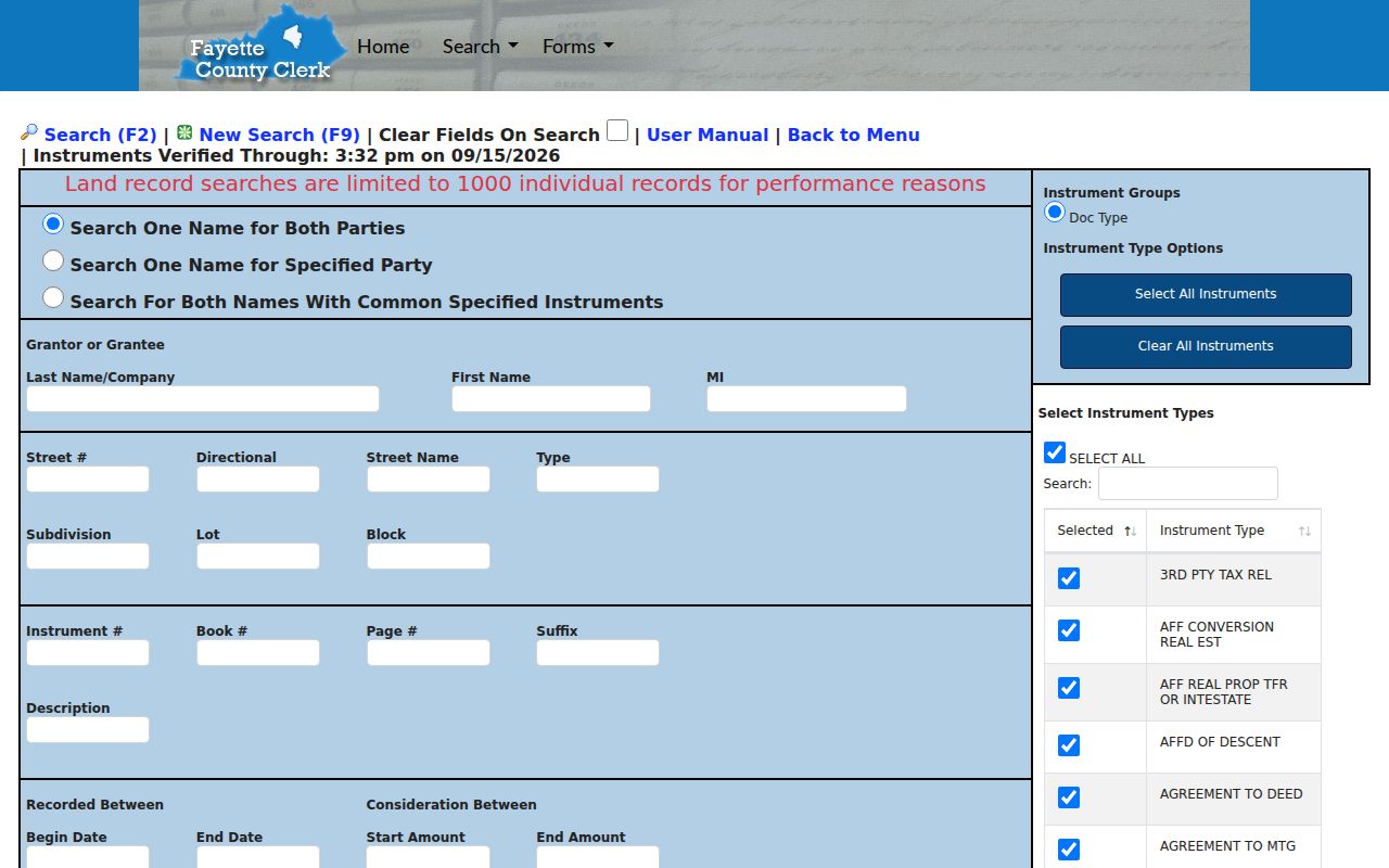
Fayette County's online deed index is advertised from 1981 to the present. Images are a different matter. The clerk's image guide describes online images from mid-1989 forward, so a name can appear in the index years before a matching image exists through the same web path. The land-record page also displays an "Instruments Verified Through" date and time, which tells you how current the indexed material is.
The search screen allows grantor, grantee, cross-role, or two-party lookups, plus optional street, subdivision, lot, block, book, page, instrument number, description, date, consideration, and instrument-type fields. Results cap at 1,000 records. Narrow broad name searches by date and document group. The County Clerk's copy form asks for identifying details. The form also states that staff will not perform a title search. A specific document request fits better than asking the office to reconstruct ownership.
For the live search screen and party fields, use the FayetteDeeds land-record index. A result is only an index entry. Review the recorded instrument itself before relying on it.
Where Fayette County Keeps Property Records
Fayette County keeps no separate register of deeds. The elected County Clerk is the official record keeper for land recordings, and the County Commission record room holds the land-record books and copy service. The Assessor maintains parcel, owner-of-record, and value data. The Sheriff's Tax Office handles tax bills, payments, delinquency, and the annual tax-sale calendar. County court records sit elsewhere. The Circuit Clerk and the statewide court portals hold those files.
One property can tie every office together. A deed shows what parties recorded. An assessment card describes the tax-roll parcel. A tax bill shows charges and payment status, and GIS supplies a mapped reference. The Fayette County Courthouse stands at 100 North Court Street in Fayetteville. Reach the Clerk's record room at 304-574-4262, the Assessor's real-estate office at 304-574-4240, and the Sheriff's Tax Office at 304-574-4219.
Fayette County Clerk
100 North Court Street
Fayetteville, WV 25840
304-574-4327
Fayette County Assessor
100 North Court Street
Fayetteville, WV 25840
304-574-4240
Fayette County Sheriff’s Tax Office
100 Church Street
Fayetteville, WV 25840
304-574-4219
Fayette County Property Record Types
A Fayette County property question can cross an instrument, an assessment, a bill, and a map. None stands in for the rest. The Clerk's index points to recorded instruments. The table matches each common question to the office that answers it.
| Record Type | What It Documents | Kept By | Access |
|---|---|---|---|
| Deeds and land records | Recorded transfers, legal descriptions, parties, and deed references | County Clerk / FayetteDeeds | Public index; copy fees apply |
| Mortgages, liens, and releases | Recorded debt, claims, assignments, and later release instruments | County Clerk | Search by party, type, date, and property clues |
| Assessment parcel card | Owner of record, mailing and situs, value parts, acreage, sale fields | Assessor / WV IAS | Public search; office has current card |
| Tax bill and delinquency | Bill, payments, unpaid tax, and tax-sale stages | Sheriff’s Tax Office | County portal link; call if it fails |
| Plats and map references | Lot, block, parcel location, surveys, and map-card context | County Clerk / Assessor | GIS is not a legal survey |
| Permits and zoning | Municipal work, use, town limits, and land-use decisions | Each city or town | Request from the municipality |
Recorded transfers begin with Fayette County deed records. Assessed figures, exemptions, bills, and due dates sit in the separate tax and assessment sources. A parcel map places the account on the ground. When lot lines or easements affect a decision, recorded plats and deeds carry more weight.
Fayette County Property Record Search Fields in West Virginia IAS
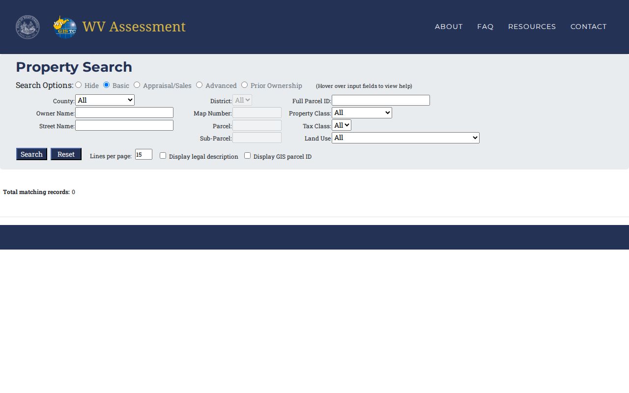
WV IAS makes a good first stop. A Fayette County property records query can begin from almost any scrap of a clue. Basic search fields cover district, owner, street, map, parcel, and sub-parcel. The full parcel ID works too. A second tier of fields digs deeper, covering property class, tax class, land use, mailing address, deed book and page, legal description, and flood-hazard status. Value ranges help when the list runs long. Set a floor and ceiling on land, building, or total appraisal. Acreage, sale date, sale price, building year, building area, and structure fields can separate parcels whose owner names look alike.
Two checkboxes matter after a result opens. “Display legal description” and “Display GIS parcel ID” expose cross-reference keys you will want later. Copy the full parcel ID exactly as shown. The stable public instructions list no single punctuation pattern for every Fayette account. A street-name query exists, though official material does not promise a whole-street block list. Treat results as leads. Check the county map before concluding anything.
| WV IAS field | Search use | Cross-reference |
|---|---|---|
| Owner, Street, Mailing Address | Start from a known name or location clue | Compare the situs and deed parties |
| District, Map, Parcel, Sub-Parcel | Return to a specific tax account | Use the map-card selectors |
| Land/building/total appraisal and acreage | Narrow by assessor measurements | Keep appraisal separate from sale consideration |
| Sale date/price, book/page, legal description, GIS ID | Link the parcel to a recorded event | Confirm against the deed image or map |
Fayette County Property Records, Assessment, and Tax Dates
Two Fayette County offices split the property records work. The Assessor keeps the account itself. Its record lists the owner-of-record name, situs, mailing address, class, land and building values, acreage, sale fields, and legal description. The Sheriff’s Tax Office handles the money side. It tracks what was billed, paid, or left delinquent. That office posts a tax-year calendar. Reread it each year.
The posted 2026/27 schedule lays out the deadlines. The first-half discount ends September 1, and those taxes turn delinquent October 1. Homestead and disability forms are due December 1; the second half gets a discount through March 1 and goes delinquent April 1. After April 30, unpaid taxes may be published with added fees. The lien-sale procedure for unpaid real estate begins September 1, and certification to the auditor follows on October 31. Call 304-574-4219 if the bill lookup fails or an account needs staff review.
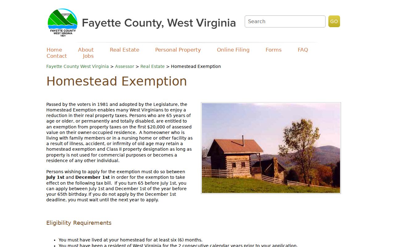
Fayette County’s homestead exemption trims the taxable assessed base by the first $20,000 on qualifying owner-occupied homes. Applicants must meet age or permanent-total-disability rules, residency requirements, and the deed-name condition. Apply in person between July 1 and December 1. Note the exemption is neither a sale-price estimate nor proof of title.
Fayette County Property Records and GIS Parcel Limits
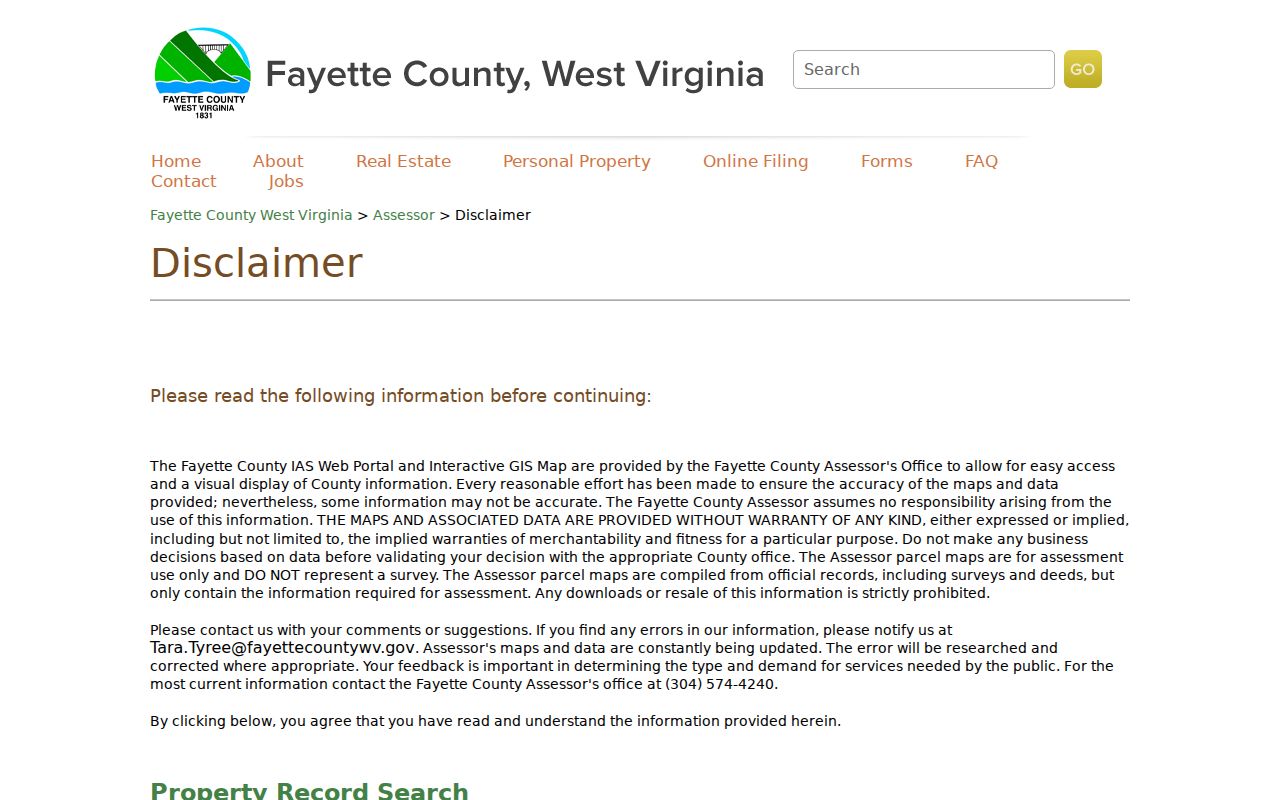
A parcel ID from WV IAS gains meaning once you place it on a map. Fayette County links an interactive ArcGIS viewer and the statewide West Virginia parcel viewer from its assessor disclaimer page. GIS carries the parcel polygons and parcel IDs. IAS still holds the owner and value fields. The county also runs a map-card viewer that works when the district, map, and parcel are already known, returning a card image through those selectors.
The GIS disclaimer is unusually blunt. Maps are compiled from official deeds and surveys, yet contain only what assessment requires. The county gives no warranty and calls the map something other than a survey. Downloads and resale are barred. Errors should be reported, and the Assessor remains the source for current information. Treat any polygon as a reference. It is not a boundary measurement.
Historic Fayette County Property Records and Land Books
Older Fayette County deed records have a clear path. The County Clerk’s guide maps the holdings. Deed and mortgage indexes cover 1794 through 1903. Behind the indexes sit deed books labeled A through Z, then numbered volumes, plus surveys from the 1780s and from 1817 to 1876. Add land treasury warrants, partition records, tax books from 1807 and 1808, wills, guardianship books, and city minutes. None of this is searchable by modern street address. Start with a name. An old book and page reference, a survey clue, or a legal description works too.
The online index cutoff is not where Fayette County land records begin. For older material, open the non-indexed-document route and search the historic alphabetic index. Record the book and page first. Historic volumes use six-character book labels plus a page suffix where page numbers repeat, which explains odd-looking early image references.

Fayette County Property Records After the 1893 Courthouse Fire
An early Fayette County deed search can hit a wall. That wall dates back over a century. The county dates to 1831. According to the West Virginia Archives and History account, a courthouse burned in 1893. That fire did not wipe the slate clean. Some marriage records survive from the county's formation. Birth and death records show major gaps only before 1866. The County Clerk's catalog also lists "burnt records" books alongside old deeds, surveys, and reconstructed or preserved volumes. Property records from that era are often still reachable.
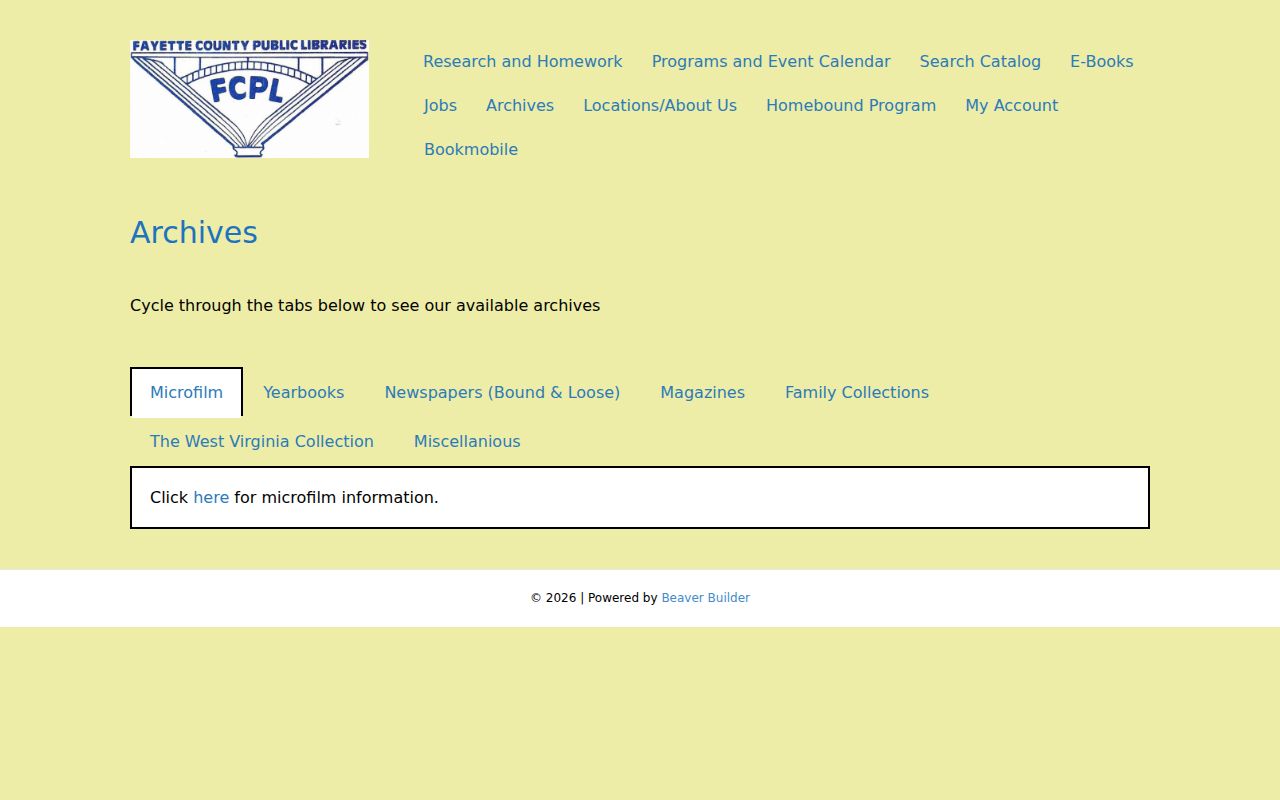
When an early deed is missing, lean on other record families. A probate entry can name heirs. A tax book can tie a family to a district. A survey or plat may carry the land description. A newspaper notice can date a sale or estate event. The Fayette County Public Library holds newspapers, yearbooks, directories, cemetery books, photographs, family histories, and coal-mining material. WVU's archive also describes Fayette court and land records on microfilm. That helps when original volumes are fragile or incomplete.
Fayette County Cities Use County Records
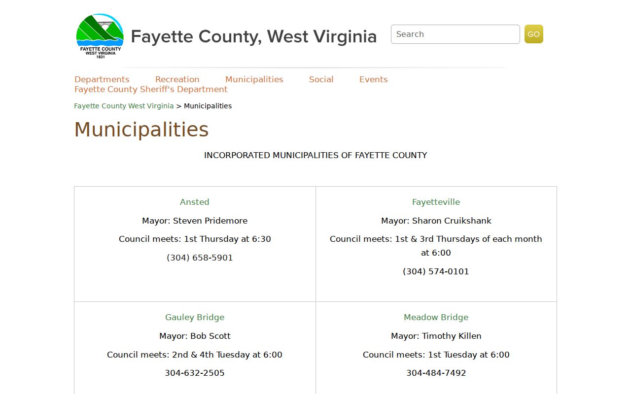
Fayette County has ten incorporated municipalities. None of them replaces the county Clerk or Assessor as custodian of property records. City offices add a different layer instead. They handle permits, zoning, code matters, municipal licenses, town limits, and planning documents. Fayetteville's zoning page works as a map-and-form hub rather than a parcel-keyed permit search. Oak Hill and Mount Hope publish no public permit or code search database. Those files take a direct city request.
A Fayetteville, Oak Hill, or Mount Hope mailing label does not settle a parcel's location. It may not show whether the parcel sits inside that town's limits. Check the assessor and county GIS for the parcel. Ask USPS for the exact ZIP. Then go to the municipality for its own zoning or permit file. Oak Hill's 2,484-acre Minden-area annexation application shows how boundaries and services shift. Deed, assessment, and tax records stay county-held throughout. Each city's section takes up its own boundary and permit questions in detail.
Request a Fayette County Record Copy
The County Clerk's land-record copy form wants specifics: book and page, document type, recording date, parties, document-control number, and the property address when known. Ordinary and certified copies are both options. Pricing is simple. An ordinary copy runs 50 cents per page. A certified copy costs $5 for the first three pages, then 50 cents for each additional page, plus $1 postage and handling per document. The form does not spell out every submission detail, so confirm the current mailing or payment route with the office before sending anything.
When a record sits with another office, West Virginia FOIA is the fallback for an existing record. Under W. Va. Code §29B-1-3, a request must name the custodian and describe the record with reasonable specificity. The agency then has five days, excluding weekends and legal holidays, to provide access, arrange inspection, or issue a written denial. Fees can cover actual reproduction cost. They cannot cover staff time or search and retrieval. Ask for a known document or a narrow file range, since an agency need not build a chain-of-title opinion for you.
Another route to record types starts with the Fayette County property search, which works from an address, owner, or parcel clue and explains the available fields.
| Index or roll | Search and compare the public fields online. |
|---|---|
| Document image | Read the recorded terms; copy fees may apply. |
| Certified copy | Request the official copy from the record custodian. |
Limits of Fayette County Property Records
Fayette County property records have real limits. A recorded deed, a tax-roll owner, an assessed figure, a parcel's map location, and a court filing do not share one update date or one legal weight. A recorded consideration may be nominal or stale. An assessor's owner field can trail the latest deed. A map line is not a survey, and a docket entry is not the full court file. Match the record to the question, then verify the source document with its custodian before acting on it.
Lawful use. Fayette County records support property research, a purchase review, estate work, and civic understanding. A search is not legal advice, a title search, or a boundary survey, and owner information must never be used to stalk, threaten, or harass a person.