
Fayette County Neighbor Block Record Sources
Finding out who owns a property in Fayette County works best parcel by parcel. Start on the GIS map rather than with names. Pin the subject parcel. Note the adjoining parcel numbers. Then open each account in the assessor system to compare the owner-of-record and land-description fields. Fayette County's GIS exists for assessment reference. Its public materials offer no dedicated buffer or adjacent-parcel button. Treat the map as a guide for lawful boundary research. When the exact line matters, lean on a recorded plat or a survey. You can also search Fayette County property records by address to anchor the parcel first.
| Source | What It Shows About a Block | Access |
|---|---|---|
| County-linked GIS | Parcel polygons and map context | Visible map; adjacent tool not verified |
| WV IAS assessor roll | Owner, mailing, situs, and parcel details | Search each parcel by its ID or street clue |
| County Clerk plat | Lot, block, road, and common-area layout | FayetteDeeds PLAT / CONDO PLAT |
| Library directories | Historic occupants and business context | Fayetteville Public Library collection |
One caution belongs here. The assessor names an owner of record and a mailing address. It does not name the people living on each nearby parcel. Historic directories may list a past household or business, but they are not ownership records. A plat is the stronger source for lot relationships. A deed or survey settles any boundary with legal weight.
Fayette County GIS Neighbor Tool Gap
Fayette County's own disclaimer links to the ArcGIS viewer and the West Virginia parcel map. Neither interface offers a named buffer, select-by-location, or adjacent-parcel tool. So do not assume a control exists just because other GIS sites use one. The practical workflow is manual. Locate the subject polygon on the map. Note the visible adjoining parcel IDs. Then search those IDs one at a time in WV IAS.
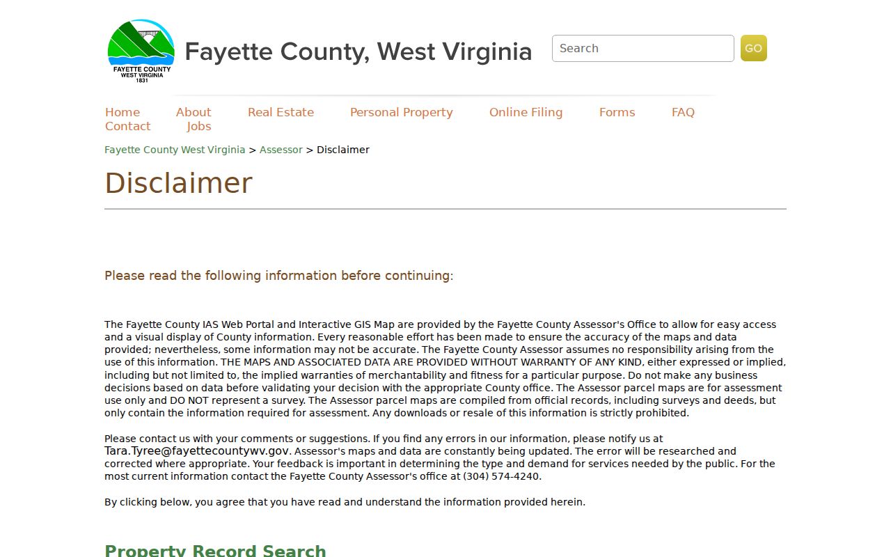
The county states plainly what its GIS is. Maps are compiled from official deeds and surveys but contain only what assessment requires. They carry no warranty, are not surveys, and cannot serve as a measured boundary. The viewer is a lead into county records. It is not a complete report of who lives around a home.
Map the Fayette County Parcels Around an Address
Start from the known location and move outward only as far as the question demands. Fayette County's GIS orients the search. The owner names come from separate assessor records. The subject parcel's ID becomes the stable link, and adjoining shapes get checked one at a time. A street query sometimes returns several accounts. Compare their location and lot descriptions instead of treating the whole street as one property block.
- Locate the subject address or parcel in the county-linked GIS.
- Write down the subject’s district, map, parcel, and displayed GIS ID.
- Note each visible adjoining parcel and search its account separately in WV IAS.
- Compare owner, mailing, situs, and legal-description fields for each parcel.
- Check the recorded plat and deed if lot relationships or boundaries matter.
- Parcel ID
- The assessor account key that can link map and owner records.
- Adjacent parcel
- A parcel that appears to touch or sit beside the subject on the map.
- Plat
- A recorded lot-and-road drawing with block or common-area context.
Fayette County Neighbor Street Searches
WV IAS accepts a Street Name search. Each assessor result carries owner, situs, mailing, parcel, and legal-description fields. The assessor publishes no documentation on whether a partial street query returns every parcel along the road. Treat the street result as a lead. Review the map, then confirm each account by a known parcel key. A road can cross a town edge. It can also include parcels set well back, so same street is not the same as next door.
For the closest parcels, begin with whatever visibly adjoins the subject on the GIS map. The assessor's street filter can help check a cluster. Still, its result set is not a verified neighbor list. It must be tested in the live portal.
Rural road names and mailing labels often cover more ground than one block. When a street result returns a large set, search a parcel ID straight from the map. Keep the situs and legal-description fields for each candidate. If the map shows a gap, a stream, or a shared access strip, never infer that two accounts touch or that one owner controls the access. Fayette County's assessor mapping serves assessment and reference. The recorded deed, plat, easement instrument, and a survey each answer different questions.
Fayette County Neighbor Plats Confirm Lot Context
A recorded subdivision plat reveals more about lot, block, and road context. It also captures common-area relationships. No street map can match that detail. FayetteDeeds indexes PLAT and CONDO PLAT instruments. Its search fields cover subdivision, lot, block, description, date, and party. Use those clues when nearby assessor accounts may share a subdivision. Then compare the plat's legal description against the current deed and parcel card.
A later deed can combine land, split it, reserve mineral rights, or create an easement. A platted line explains the record layout. It does not replace a current survey. The Fayette County parcel maps page explains the limits of the assessor GIS. It also shows where map-card references fit.
Minden’s Fayette County Edge Parcels
Oak Hill and Minden records show why a neighbor lookup matters. Municipality and county must stay separate in the search. The city's Minden-area application described a 2,484-acre annexation proposal. County minutes discuss a minor-boundary adjustment and municipal services reaching past earlier limits. The parcel's county assessor and deed sources stay the same. City service or zoning context can shift around them.
Compare the current GIS against the city boundary and the commission order. Check any recorded legal description too. ZIP, mailing city, and city-limits status are separate clues. A nearby property can sit outside the same municipal rules. It can still share the same postal street.
Fayette County Neighbor Map Limits
The county publishes its parcel maps with clear limits. They draw on official deeds and surveys, yet the maps carry assessment data only. The county gives no warranty for them. It also states plainly that the GIS is not a survey. Downloads and resale of the map data are prohibited. A line on the screen can look like a shared boundary or an access lane. It still proves nothing by itself. Treat the neighbor map as a pointer. Let it tell you which deed, plat, or assessor record deserves a closer look rather than treating it as the final word in a dispute.
When a line touches something real, like a purchase, a fence, an access route, or a planned improvement, go to the recorded deed and hire a licensed surveyor. Want the owner of record for one neighboring parcel? Compare the latest deed with the assessor account instead of trusting a map label alone.
Privacy Limits on a Fayette County Neighbor Lookup
A Fayette County neighbor lookup has real reach and real limits. It can show the owner named on an assessor account. It can also show the land description for an adjoining parcel. It cannot tell you who lives there. The county GIS is not a survey, and it settles no boundary question. West Virginia's Safe at Home program adds another layer. It shields qualifying participants behind a substitute address and record safeguards. For that reason, some public sources stay incomplete by design.
Lawful use. Use nearby parcel records for boundary, purchase, estate, and civic questions. Do not use names or addresses to watch, threaten, or harass anyone.